How to read an old map with a critical eye
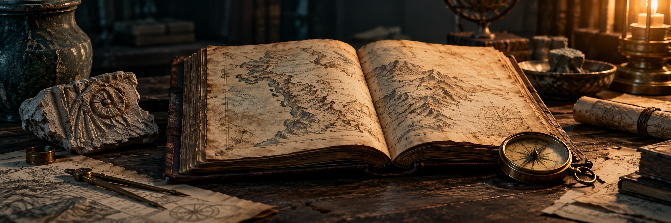
Before studying a castle symbol or an unfamiliar road, examine the map title, date, publisher, legend and scale.
Read the frame before the landscape
Before studying a castle symbol or an unfamiliar road, examine the map title, date, publisher, legend and scale. Ask what the map was designed to do. A visitor map, property plan and military survey can emphasise different features. Treat missing information cautiously: omission may reflect the purpose or available space rather than proof that something did not exist.
Distinguish survey from publication
The date printed on a map may describe its publication or revision rather than the moment every feature was surveyed. Look for edition notes and a catalogue description. If no survey date is given, say so in your notes. Avoid assigning a building an exact construction date merely because it first appears on the oldest map you happen to have found.
Find reliable reference points
Compare features that are likely to have identifiable positions, such as a distinctive headland, church or road junction. Use several points rather than one. Rivers, coastlines and streets can change, while older mapping can contain distortions. When an overlay appears misaligned, check orientation, scale and the quality of the scan before interpreting the mismatch as a historical discovery.
Translate symbols into questions
Write down an unfamiliar symbol and consult the legend or the archive description. Do not assume the same symbol means the same thing across publishers or centuries. A shaded area may represent terrain, land use or decoration. Where a meaning remains uncertain, preserve the uncertainty instead of silently converting the symbol into a modern category.
Keep a reproducible record
Save the catalogue reference, sheet number and edition with your notes. If sharing an extract, check the collection’s stated reuse conditions and credit requirements. Explain any cropping, rotation or colour adjustment. Finish with a short comparison: what the map shows, what another source supports, and what still needs investigation. A clear record lets another reader repeat your reasoning.
Your next discovery
Explore our guide library, follow the research guidelines or send a question through Contact.